M&E Geophysical Surveys
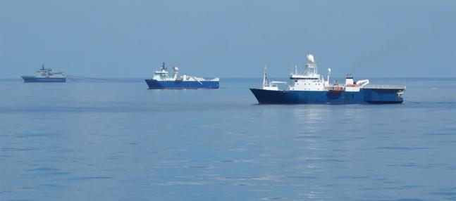

Hydrographic Surveys: M&E hydrographic survey projects and capabilities include beach nourishment, Bathymetric surveys, Seagrass mapping, Sediment Depth Mapping, Everglades restoration projects, and channel and harbor improvement projects.
Autonomous Remote Surveys: Our Autonomous Remote Survey Services division, powered by a growing fleet of custom ASVs, signals a new era of efficiency and accuracy when it comes to cost-effective data collection.
Topographic Surveys: Topographic survey capabilities include Beach Profiles, Canal Cross-Sections, Engineering Design Surveys, Automated Data Collection, and Digital Terrain Modeling.
GPS Surveys: M&E GPS survey tools include Static GPS Baseline, Fast Static, Real-Time Kinematic (RTK) Observations, and Post Processed Kinematic.
Computer-Aided Drafting: M&E makes extensive use of computer-aided drafting tools when executing and delivering our projects. Our toolbox includes AutoCAD, ArcInfo, Arc View GIS, MicroStation and, Bentley In-Roads Survey.
M&E Geophysical Surveys